AI-Powered Intelligence & Navigation
Centimeter-Level Spatial Infrastructure. Wire-Free Navigation. Enterprise Resilience.
In major civil infrastructure, precision isn't an afterthought—it is the foundation of the entire project. Evolve Robotics applies this exact same elite engineering standard to commercial land management.
We have eliminated the fragile, high-maintenance physical boundary wires of past-generation robotics. Instead, our fleet utilises an advanced RTK GPS + Vision Fusion navigation engine. By combining satellite positioning with dual 3D and RGB stereoscopic cameras, our systems treat your property as a highly precise spatial matrix, executing flawless autonomous paths with military-grade predictability.
The Core Navigation Infrastructure
1. Private RTK Base Stations (Centimeter Precision)
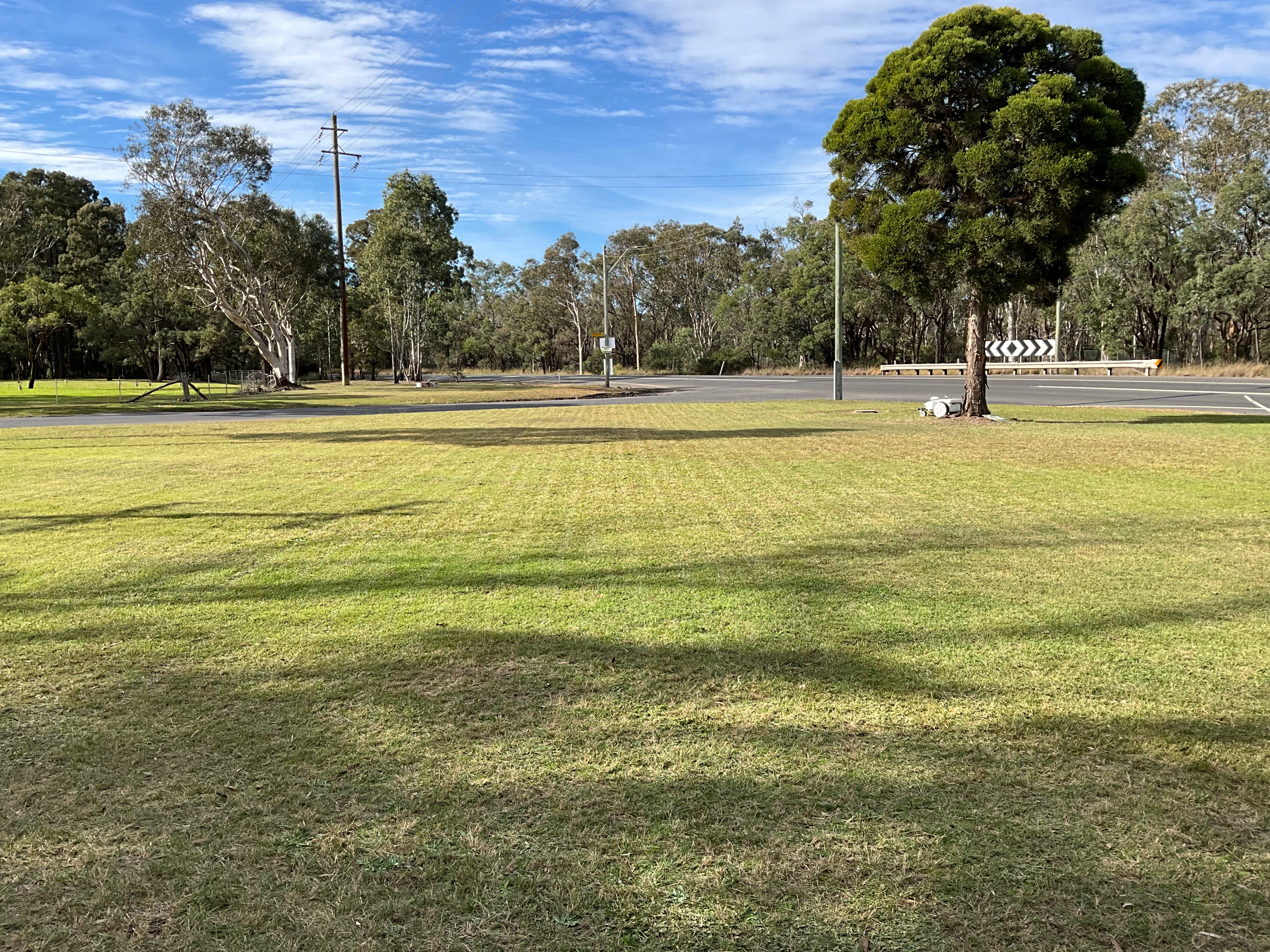
Standard commercial GPS systems suffer from severe drift and localised signal degradation. Evolve mitigates this risk by deploying a localised, private Real-Time Kinematic (RTK) Base Station directly to your facility. This sovereign network continuously sends real-time positioning corrections to the fleet, achieving sub-centimeter accuracy across expansive 40–100+ acre sites, providing high operational uptime even near complex structures or under tree canopy cover.
2. Dual-Layer Vision Fusion
Our fleet doesn't just blindly follow a map. The integrated 3D and RGB stereoscopic vision system actively reads the terrain in real time. This dual-layer architecture instantly reconciles planned path coverage with dynamic environmental changes—allowing the units to safely navigate structural boundaries, vehicles, property assets, and public spaces with zero liability.
3. High-Frequency "Stadium Aesthetics"
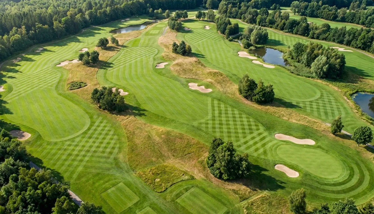
Because our navigation engine commands absolute precision, the fleet calculates the most efficient, mathematically optimised coverage paths for your turf.
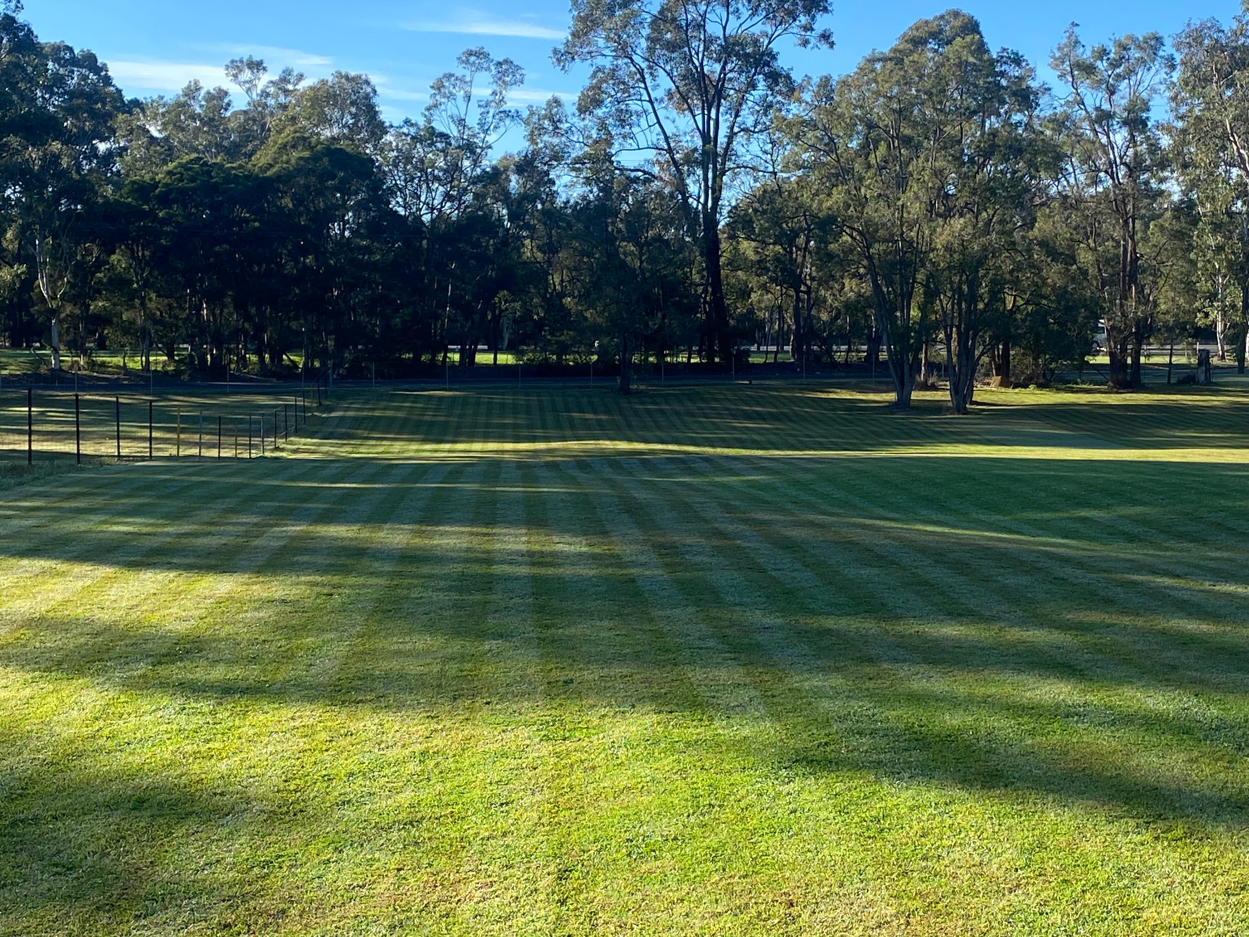
The Finish: This level of control yields the exact diamond patterns, razor-straight lines, and pristine uniform coverage associated with professional, tournament-ready stadium presentation.
Continuous Improvement: Driven by an independent, ruggedised RUT241 cellular network router, every operational rotation uploads edge data to our dashboard, continuously refining spatial mapping and cutting efficiency over the course of your 36-month term.